Tarset Digital Archive - Gazetteer of Site Records
Individual record pages of the Tarset Digital Archive are hosted on the Tarset website. They are listed in both by name and monument type (see 'Site Records' below). Additionally, a PDF index of site record pages, ordered by record number and with links to individual pages, can be accessed here. This PDF index has the additional function of listing and linking to the site's map square (summarised here), coordinates and Historic Environment Record (HER) number if applicable.
A short summary of the compilation of the archive can be found here.
Site records
The records of Tarset's historical and archaeological sites are listed by name and by site type, as well as on a PDF index:
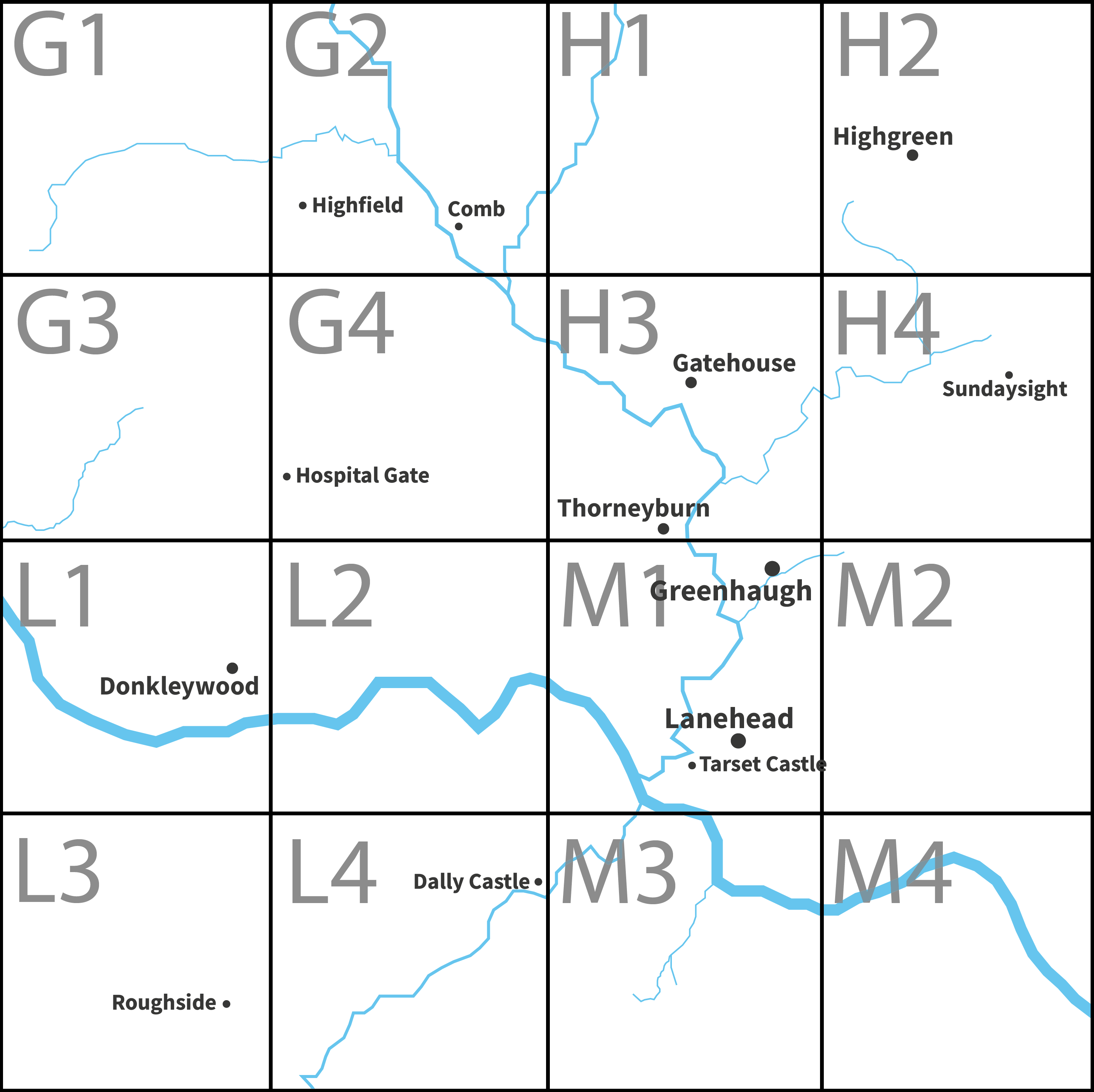
The map squares are viewable below, and contain a table of sites with links to site pages:
The gazetteer is produced, published and maintained by Tarset Archive Group. Please note that Tarset Archive Group members do not guarantee either accuracy or completeness of these records. Data are derived from a variety of sources including its original work; some of these may be copyright. Use of data for any legal purpose should be checked against primary sources. Comments and suggestions to [email protected]
The Tarset Digital Archive by Tarset Archive Group is licensed under a Creative Commons Attribution-NonCommercial-NoDerivatives 4.0 International License.